
Turning News into Notes for UPSC and Beyond – with Jaiprakash Rau and Anshu Sharma
Why Gilgit–Baltistan Matters ?
Gilgit–Baltistan (GB) is among the most strategically sensitive regions in Asia because it lies at the convergence of:
the Kashmir dispute,
India–Pakistan rivalry,
China’s westward strategic expansion,
Himalayan military geopolitics,
Indus river water systems,
and Eurasian connectivity corridors.
It is not merely a territorial dispute; it is a geopolitical hinge linking South Asia, Central Asia and western China.
From the UPSC perspective, the issue is important for:
India–China relations,
India–Pakistan relations,
border management,
strategic geography,
infrastructure geopolitics,
river systems,
and security studies.
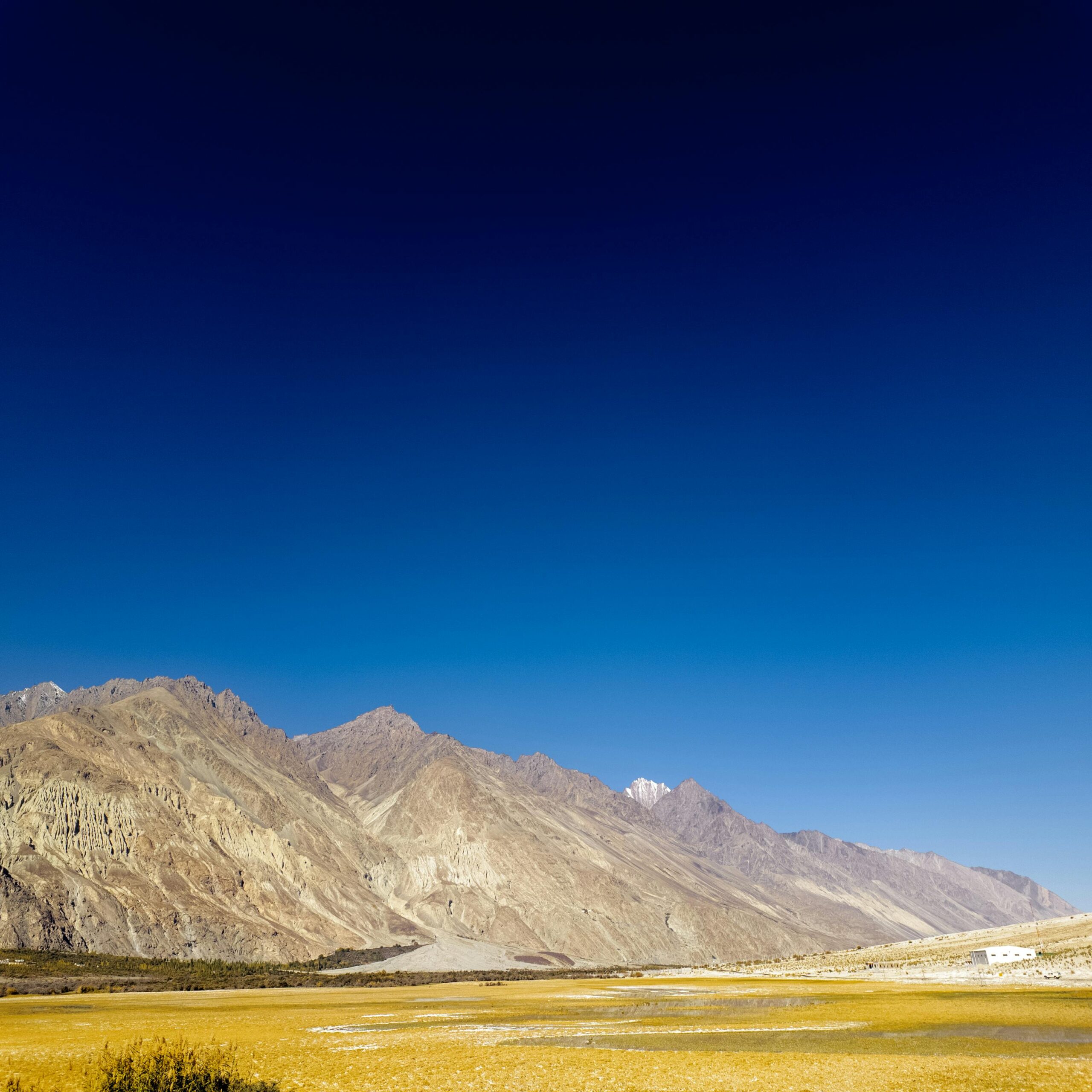
- Location and Geographical Significance
Geographical Position
Gilgit–Baltistan lies in the northernmost part of the larger Jammu & Kashmir region currently under Pakistani administration.
It borders:
Ladakh to the southeast,
Xinjiang to the northeast,
Afghanistan through the narrow Wakhan Corridor,
and mainland Pakistan to the south and west.
The region occupies an exceptionally rugged mountainous terrain where:
the Himalayas,
Karakoram,
Hindu Kush,
and Pamir knot systems intersect.
This makes it one of the most elevated and militarily challenging terrains in the world.
Major Geographical Features
Important Mountain Ranges
Karakoram Range
Western Himalayas
Hindu Kush
Important Peaks
The region contains some of the world’s highest mountains:
K2,
Nanga Parbat,
Gasherbrum peaks,
Broad Peak.
Strategic Glaciers
Baltoro Glacier
Biafo Glacier
Siachen Glacier region nearby
These glaciers are important for:
freshwater storage,
climate studies,
and military logistics.
Strategic Passes and Corridors
Historically, the region connected:
South Asia,
Central Asia,
Tibet,
and Xinjiang.
Important routes include:
Khunjerab Pass,
Karakoram Highway,
old Silk Route linkages.
The region therefore acts as a natural gateway between:
the Indian subcontinent,
western China,
and Central Asia.
- Historical Evolution of the Dispute
Pre-1947 Background
Before independence, Gilgit–Baltistan formed part of the princely state of Jammu & Kashmir ruled by Maharaja Hari Singh.
However, due to strategic concerns related to Russian expansion during the “Great Game,” the British exercised significant influence over the Gilgit frontier.
Gilgit Lease
In 1935:
the British leased the Gilgit Agency from the Maharaja,
mainly to monitor Soviet influence in Central Asia.
This shows that even colonial powers recognized the region’s geopolitical significance.
1947 Partition and Conflict
After Partition:
tribal militias supported by Pakistan entered Kashmir,
rebellion occurred in the Gilgit region,
British officers commanding local forces reportedly aided Pakistan-aligned control,
Maharaja Hari Singh signed the Instrument of Accession to India in October 1947.
India’s position:
Since the accession was legal and final, the entire princely state, including Gilgit–Baltistan, legally belongs to India.
Pakistan disputes this interpretation and retained administrative control over the region.
Ceasefire and UN Context
The first India–Pakistan war (1947–48) ended with a UN-backed ceasefire.
The ceasefire line later evolved into:
the Line of Control (LoC).
Gilgit–Baltistan remained under Pakistani control thereafter.
- India’s Position on Gilgit–Baltistan
Official Indian Stand
India officially considers Gilgit–Baltistan:
an integral part of India, legally belonging to the Union Territory of Ladakh.
India argues:
Pakistan is illegally occupying the territory,
any administrative changes by Pakistan are invalid,
Chinese infrastructure projects violate Indian sovereignty.
Impact of 2019 Reorganization
After the abrogation of Article 370 in 2019:
Jammu & Kashmir was reorganized,
Ladakh became a separate Union Territory,
official Indian maps showed Gilgit–Baltistan within Ladakh.
This intensified diplomatic reactions from both Pakistan and China.
- China Factor: The Core Strategic Dimension
CPEC and the Belt and Road Initiative
The biggest geopolitical transformation in GB came through the:
China–Pakistan Economic Corridor (CPEC),
which is a flagship project of Belt and Road Initiative.
CPEC connects:
western China,
through Gilgit–Baltistan,
to Gwadar Port on the Arabian Sea.
Why China Values GB
For China, Gilgit–Baltistan provides:
overland access to the Arabian Sea,
strategic depth in South Asia,
energy transport alternatives,
western regional development for Xinjiang,
reduced dependence on the Malacca Strait.
This is connected to China’s broader “continental connectivity” strategy.
Why India Opposes CPEC
India opposes CPEC because:
it passes through territory claimed by India,
it legitimizes Pakistan’s control,
it deepens Chinese strategic presence near Indian borders.
Thus, GB has transformed from:
a bilateral India–Pakistan dispute,
to a triangular India–Pakistan–China strategic issue.
- Military and Security Importance
(A) Link with Siachen and Ladakh
Gilgit–Baltistan overlooks:
Siachen Glacier,
Ladakh,
Karakoram Pass region.
Control over mountain heights provides:
surveillance advantages,
logistics control,
strategic observation points.
The region is therefore deeply linked to:
India–China tensions in eastern Ladakh,
and India–Pakistan military rivalry.
(B) High Altitude Warfare
The terrain is ideal for:
defensive warfare,
observation posts,
limited-access mountain warfare.
Challenges include:
extreme cold,
avalanches,
altitude sickness,
logistics dependence on narrow valleys.
This explains why infrastructure itself becomes a strategic weapon.
(C) Karakoram Highway
The Karakoram Highway connects:
Pakistan with Xinjiang through GB.
Strategic significance:
military logistics,
trade,
strategic troop movement,
dual-use infrastructure potential.
Hence, roads and tunnels in the Himalayas are not merely developmental assets but strategic assets.
- Water Security and Hydro-Politics
Indus River System
Gilgit–Baltistan forms the upper catchment of the Indus basin.
Major rivers:
Indus,
Gilgit,
Hunza,
Shyok.
These rivers are critical for:
Pakistan’s agriculture,
irrigation,
hydropower generation,
drinking water systems.
Strategic Importance of Water
Control over upper riparian zones influences:
water security,
dam-building potential,
hydroelectric power,
climate resilience.
In future geopolitical conflicts, Himalayan water systems may become even more important.
Glacier Ecology
GB contains major glaciers outside the polar regions.
Climate change implications:
glacier retreat,
flash floods,
glacial lake outburst floods (GLOFs),
ecosystem fragility.
This adds an environmental security dimension to the geopolitical dispute. - Shaksgam Valley Agreement (1963)
What Happened?
In 1963:
Pakistan signed a boundary agreement with China,
and ceded the Shaksgam Valley (Trans-Karakoram Tract) to China.
India rejected the agreement.
India’s Objection
India argued:
Pakistan had no legal authority to transfer territory that belonged to the former princely state of Jammu & Kashmir.
Strategic Consequences
The agreement:
strengthened China–Pakistan strategic partnership,
laid the foundation for future cooperation,
facilitated later infrastructure connectivity.
This is one of the earliest major geopolitical alignments between China and Pakistan. - Internal Political and Constitutional Issues
Governance Status
Gilgit–Baltistan is administered separately by Pakistan and historically lacked:
full constitutional provincial status,
representation equivalent to provinces,
complete political autonomy.
Pakistan introduced reforms gradually:
Gilgit-Baltistan Empowerment Orders,
legislative assemblies,
limited self-governance mechanisms.
However, critics argue:
real power still remains with Islamabad.
Pakistan’s Strategic Dilemma
Pakistan faces a constitutional contradiction:
If GB becomes a full province:
it may weaken Pakistan’s argument that Kashmir is disputed.
If GB remains semi-constitutional:
local dissatisfaction increases.
Thus Pakistan attempts “administrative integration without formal constitutional finality.”
Local Concerns
Issues raised within GB include:
political representation,
land ownership,
sectarian tensions,
control over natural resources,
environmental degradation,
unequal development. - India–China–Pakistan Triangle
Gilgit–Baltistan represents the physical intersection of:
the Kashmir dispute,
India–China border tensions,
and Chinese strategic penetration into South Asia.
This creates a “strategic triangle”:
Actor Core Interest
India Sovereignty Ladakh security, preventing strategic encirclement
Pakistan Strategic depth Kashmir leverage, Chinese partnership
China Access to Arabian Sea Xinjiang stability, Belt and Road expansion - Connectivity and Eurasian Geopolitics
Gateway to Central Asia
GB potentially connects:
South Asia,
Central Asia,
western China.
Future trade corridors involving:
energy pipelines,
fibre optics,
road networks,
rail connectivity
must account for this geography.
Competition of Corridors
The region is now part of larger geopolitical competition involving:
CPEC,
International North-South Transport Corridor (INSTC),
Chabahar connectivity,
Central Asian access routes.
Thus infrastructure has become a tool of strategic influence. - Relevance for India
Why GB Matters to India
Sovereignty Dimension
India views the territory as legally acceded Indian land.
Security Dimension
Chinese and Pakistani infrastructure alters military balance near Ladakh.
Strategic Encirclement Concern
The China–Pakistan nexus raises fears of coordinated pressure on India’s northern frontiers.
Water and Ecology
Upper Himalayan river systems affect long-term strategic planning.
Connectivity
Potential future access to Central Asia is tied to this geography. - International Law and Diplomatic Dimensions
India’s Legal Basis
India relies primarily on:
Instrument of Accession (1947),
continuity of princely state boundaries.
Pakistan’s Argument
Pakistan emphasizes:
local political developments,
control on the ground,
broader Kashmir dispute framework.
China’s Position
China largely treats the issue pragmatically through:
infrastructure investments,
strategic partnerships,
economic integration.
- Emerging Trends
Increasing Chinese Presence
China’s growing investments suggest:
long-term strategic commitment,
dual-use infrastructure potential.
Militarization of High Himalayas
Post-2020 India–China tensions increased the importance of:
road networks,
tunnels,
airfields,
logistics infrastructure.
Climate Change Risks
The Himalayan ecosystem faces:
glacier melt,
extreme weather,
hydrological instability.
Future geopolitics may increasingly involve:
environmental security,
water stress,
climate migration. - UPSC Perspective: Key Analytical Themes
Theme Relevance
International Relations India–Pakistan–China triangle
Security Studies Border disputes, high-altitude warfare
Geography Karakoram, Himalayas, glaciers
Economy Connectivity corridors, CPEC
Environment Glacier ecology, climate risks
Polity Instrument of Accession, territorial claims
Infrastructure Geopolitics Roads, tunnels, strategic connectivity - Important Keywords for Mains Answers
Use terms like:
Strategic buffer
Geopolitical crossroads
Continental connectivity
Infrastructure geopolitics
High-altitude militarization
Himalayan security architecture
Strategic encirclement
Hydro-politics
Eurasian connectivity
Frozen conflict with active strategic implications
Analytical Conclusion
Gilgit–Baltistan demonstrates how:
geography shapes strategic behaviour,
unresolved historical disputes evolve into geopolitical flashpoints,
infrastructure becomes an instrument of power projection,
and mountains influence continental politics.
For:
Pakistan → it is a strategic buffer and CPEC corridor.
China → it is a land bridge to the Arabian Sea and western strategic access point.
India → it represents sovereignty, Himalayan security and strategic balance in Ladakh.
Thus, Gilgit–Baltistan is not merely a disputed territory; it is a geopolitical pivot where:
territorial claims, strategic infrastructure, military competition, water security, and great power rivalry intersect.
Possible UPSC Mains Questions
“Gilgit–Baltistan has emerged as the strategic fulcrum of the India–Pakistan–China triangle.” Examine.
Discuss the geopolitical significance of Gilgit–Baltistan in the context of CPEC and Himalayan security.
“Infrastructure projects in disputed territories often transform regional geopolitics.” Analyse with reference to Gilgit–Baltistan.
How does the geography of Gilgit–Baltistan shape strategic competition in South Asia?
Examine the strategic and environmental significance of Gilgit–Baltistan in contemporary Asian geopolitics.
UPSC Exams Article is written for Best upsc ias coaching in Bangalore Achievers IAS classes